
Ground extraction from earthwork site data
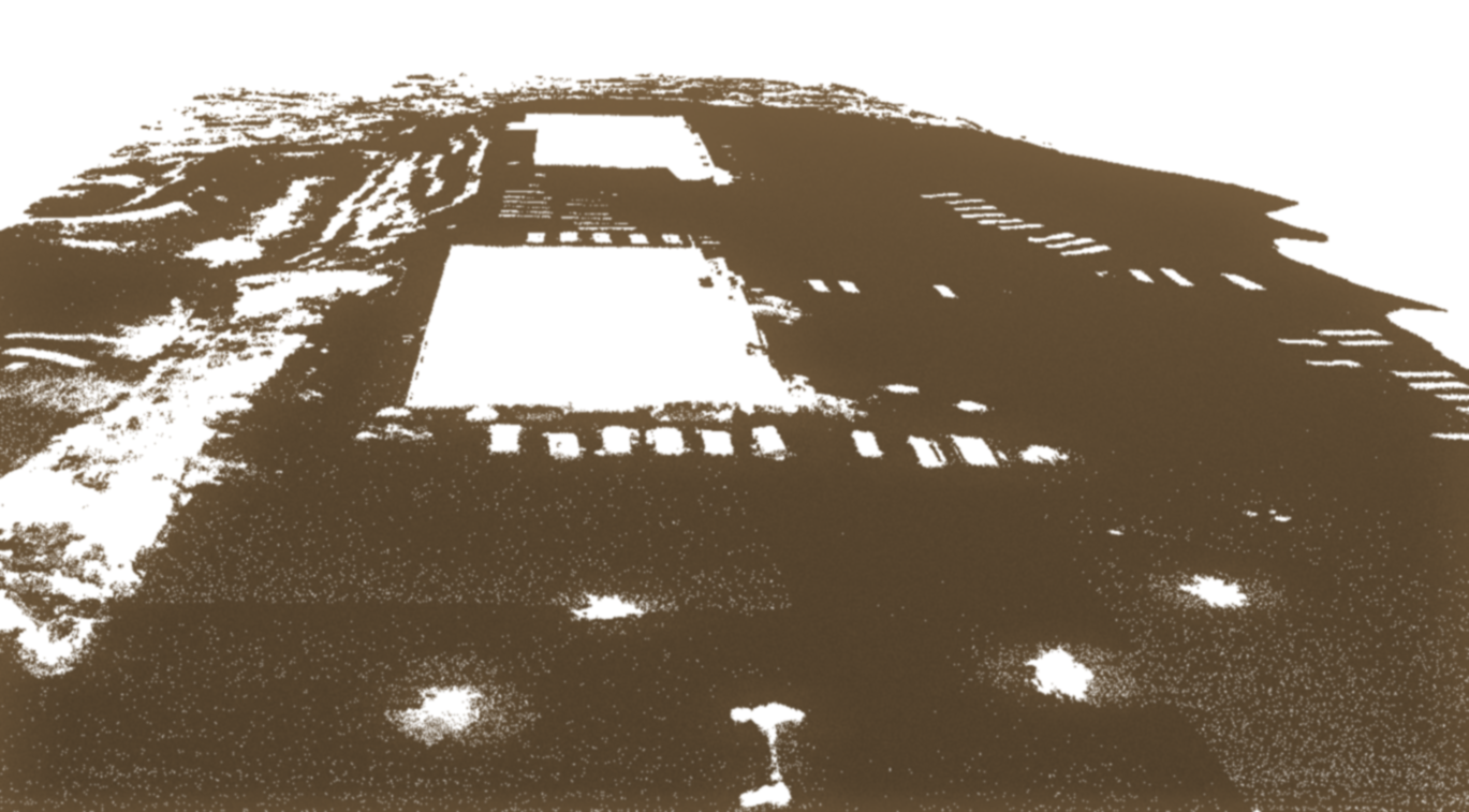
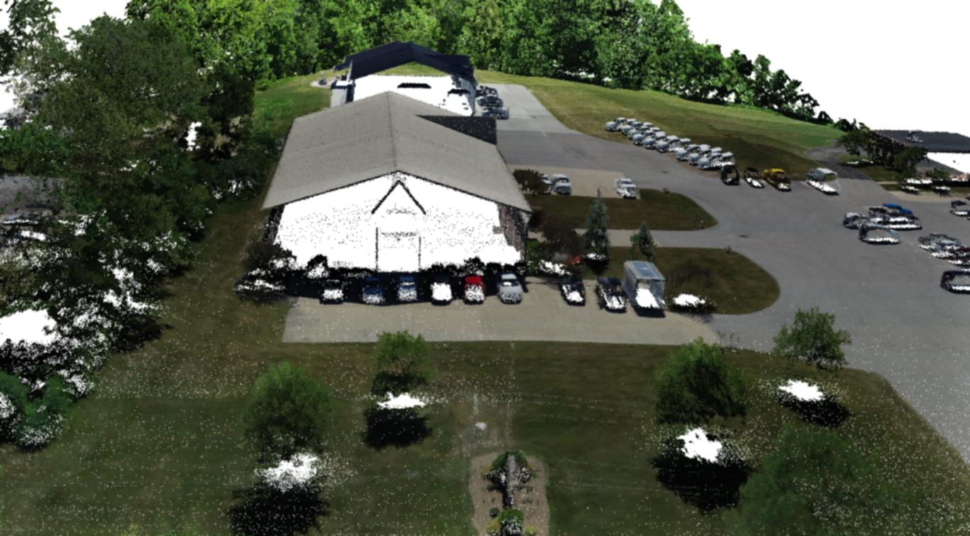
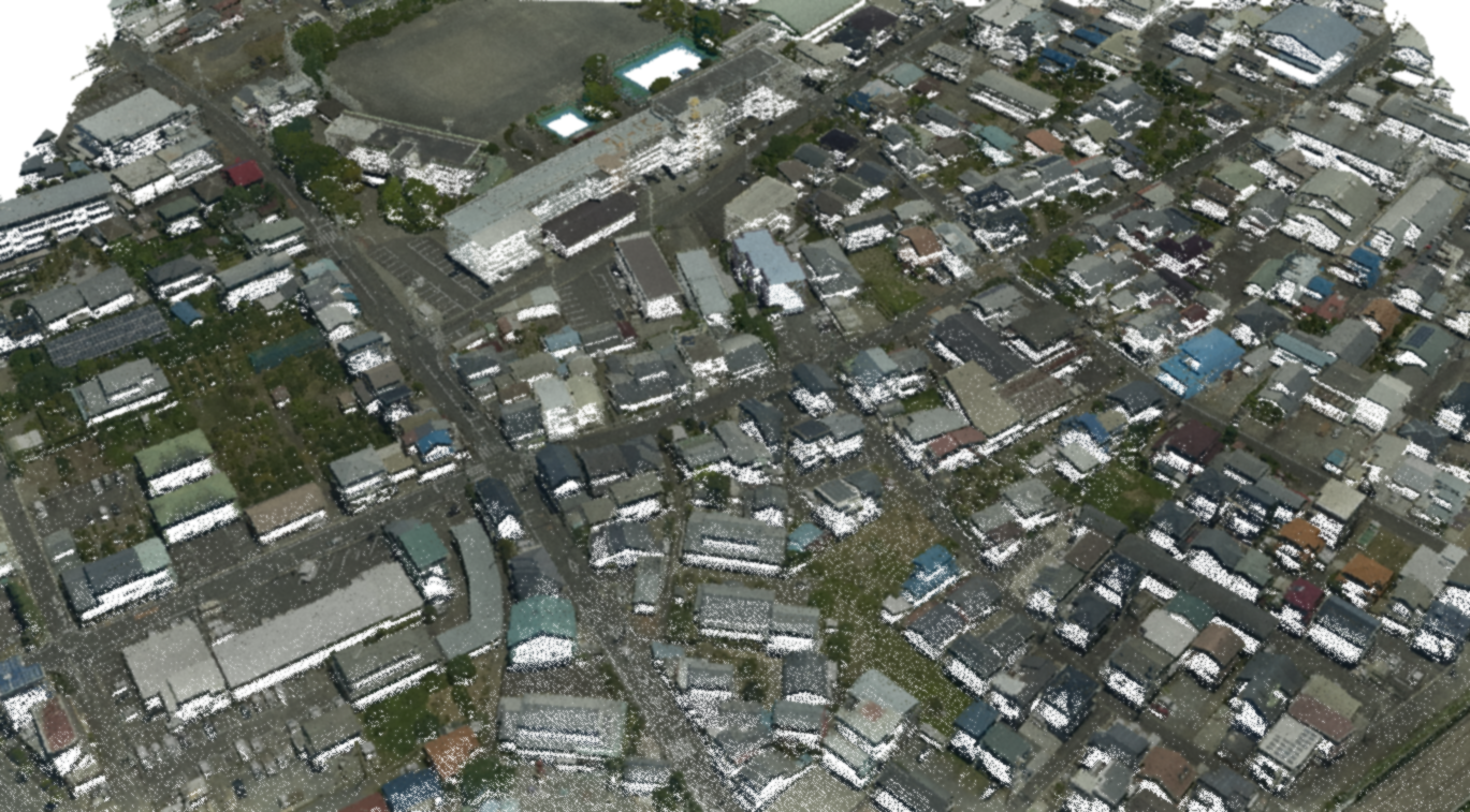
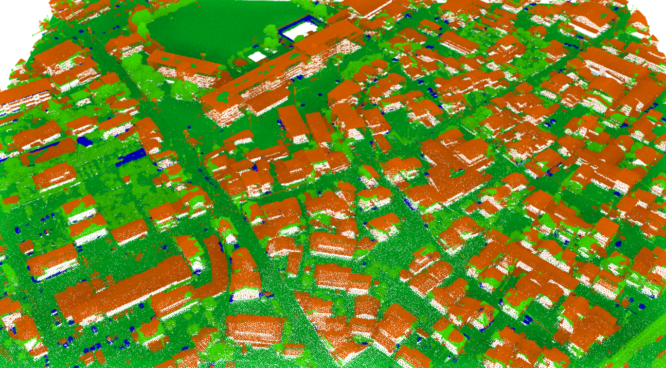
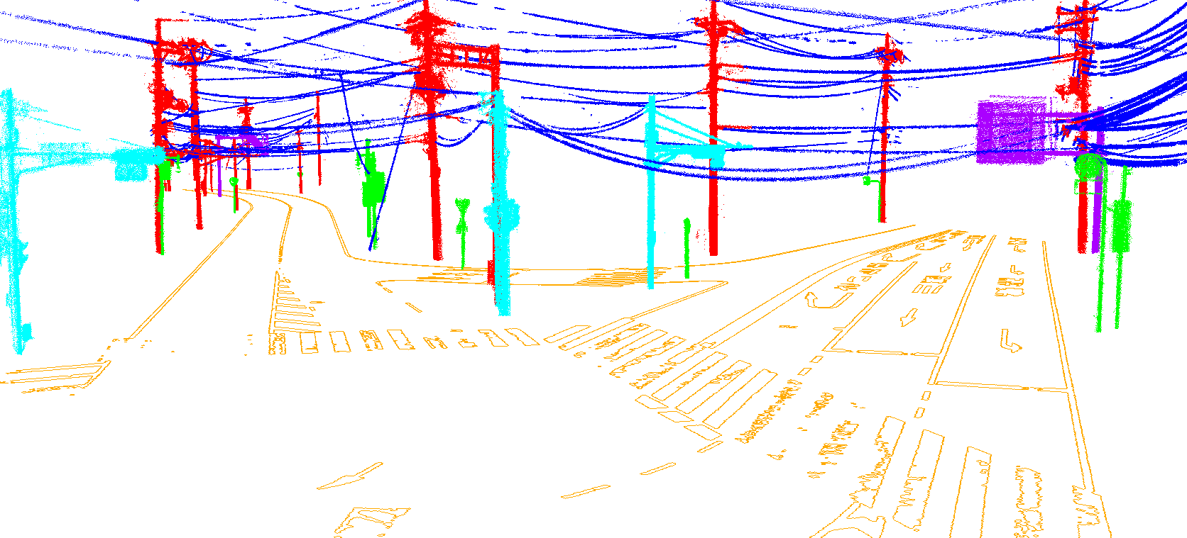
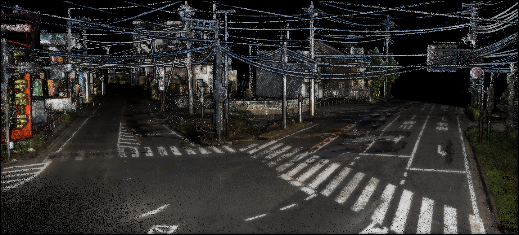
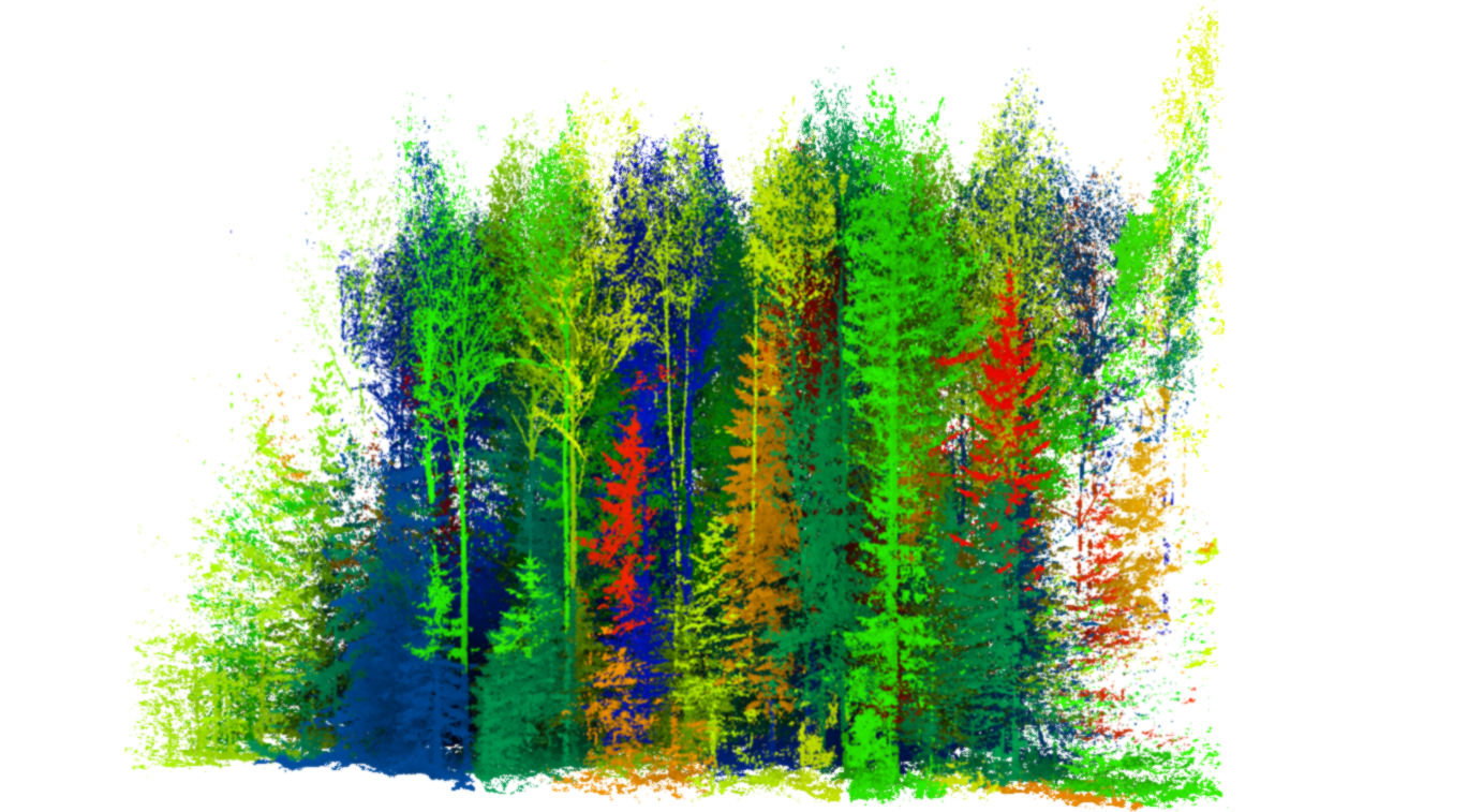
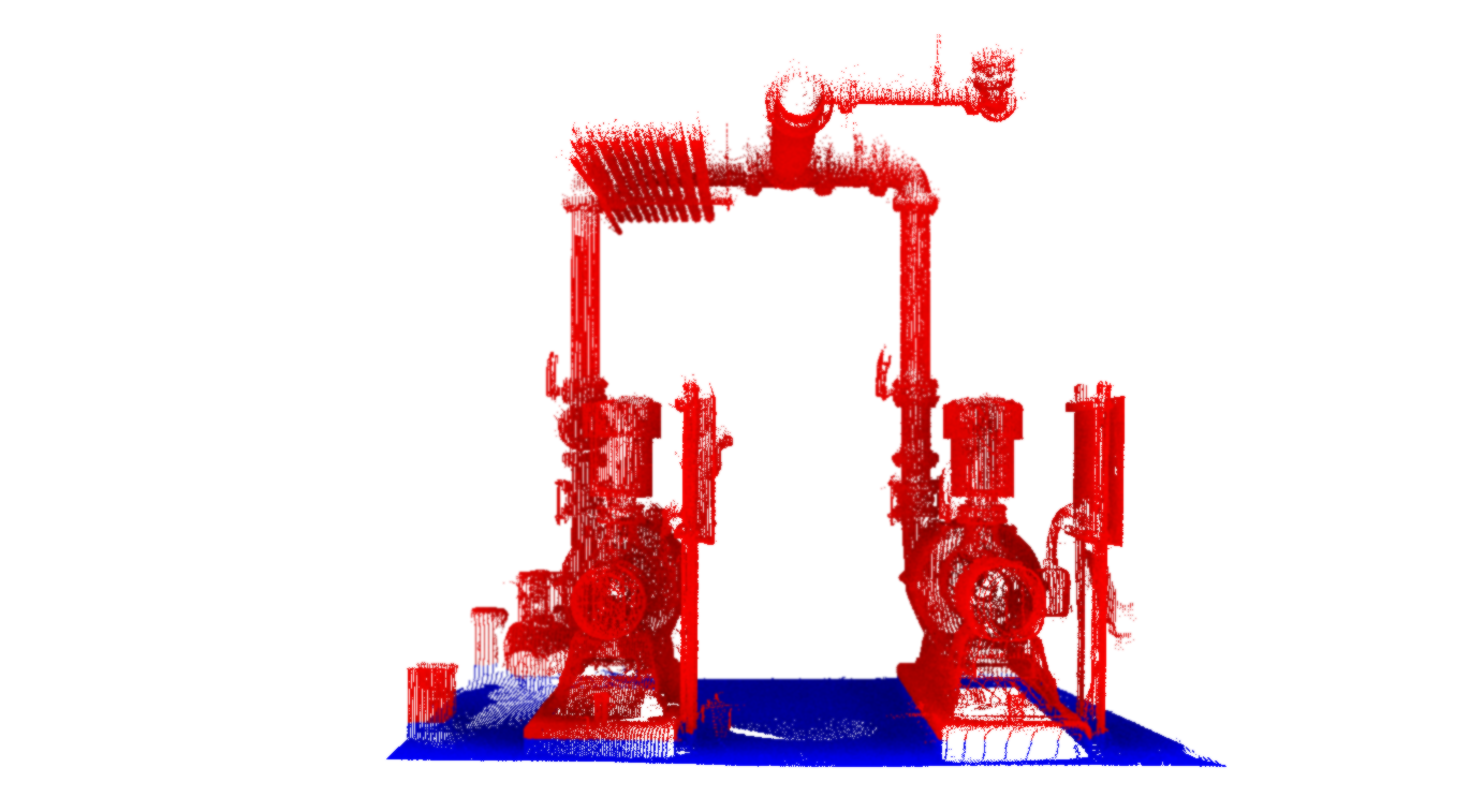
We develop classification functions that handle point cloud data measured with various equipment such as aerial laser, drone laser, ground-based laser, handheld scanners (MLS), mobile mapping systems (MMS), photogrammetry, etc.
Discuss your projectWe classify and extract the necessary information from 3D data
Move each slider to compare the original data with the classification and extraction results.


Hearing customer requirements
Data collection
Data preprocessing
Development of classification/extraction algorithms
Accuracy verification
Delivery